Liberation Route Marker 22
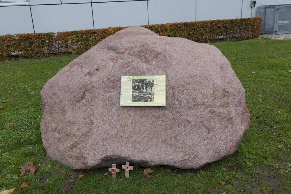

LIBERATION ROUTE MARKER 22
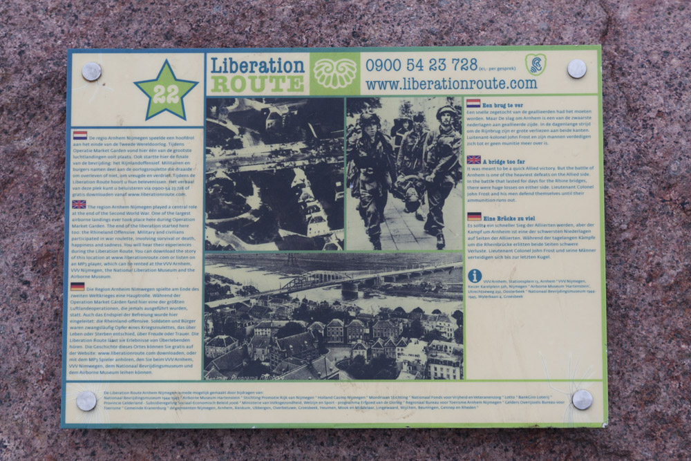
A BRIDGE TOO FAR
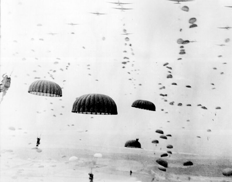
The Liberation Route follows the course of the Allies during the liberation of Europe. The route starts in Normandy and continues via Nijmegen and Arnhem in the direction of Berlin. The Arnhem-Nijmegen region played an important role at the end of the Second World War. One of the largest airborne landings in history took place here during Operation Market Garden in September 1944.
The Liberation Route lets you experience what happened around Arnhem and Nijmegen in 1944 and 1945. There are many marked boulders at various locations throughout the region, the so called Audio Sites. You can listen to an audio report at each location about the impressive experiences of one or more persons during 44-45. You can download these stories free here.. Its also possible to rent an MP3 player with the stories at the tourist information shops VVV NL Shop Arnhem and VVV NL Shop Nijmegen / Nijmeegs Uitburo, at the Airborne Museum and at the National Liberation Museum 1944-1945.
Liberation Route Marker 21 (A bridge to far):
The information on this stone tells the story of Lieutenant Colonel John Frost and his men who defended their positions in downtown Arnhem untill the last round. The Allied Forces failed to capture all of the main bridges. Therefore, Operation Market-Garden went into history books as one of the biggest failures of the Western Allies during the Second World War.
Do you have more information about this location? Inform us!
Source
- Text: TracesOfWar.com & Liberationroute.com
- Photos: Arjan Vrieze
Related books


Nearby
Museum
Point of interest
Monument
- Memorial 1st British Airborne Division - Arnhem
- Jacob Groenewoud Park / Airborne Monument Arnhem - Arnhem
- Memorial Location Headquarters John Frost - Arnhem
Cemetery
- War Grave Goossen Family - Arnhem
- Commonwealth War Grave Jewish Cemetery Moscowa Arnhem - Arnhem
- Dutch War Graves General Cemetery Moscowa Arnhem - Arnhem
Remembrance Stone
- Stumbling Stone Markt 5 - Arnhem
- Stumbling Stones Pastoorstraat 18 - Arnhem
- Stumbling Stone Koningstraat 58 - Arnhem
Fortification
- Two Kockbunkers Museum Arnhem - Arnhem
- Kochbunker Arnhem - Arnhem
- Concrete Encased M4 Sherman Tanks Meinerswijk - Arnhem
Crash site
Looking for reliable information or news facts about WW2? Do you want to create your own battlefield tour to sights of wars from the past? Or are you interested in war medals and their recipients? TracesOfWar.com tells you more!
More information

© STIWOT, 1999-2024. All rights reserved. Privacy statement, cookies, disclaimer and copyright